


A high-resolution spatiotemporal wildfire propagation dataset for Europe and the Mediterranean
, Infrastructure
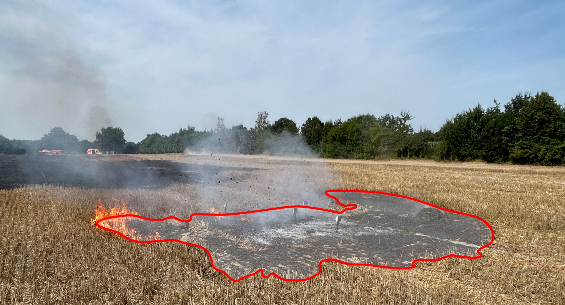
Testbrand in Nauen - Blätterversuch auf dem Stoppelfeld.
Although wildfires are a natural part of many ecosystems, most fires occurring today are caused by humans. As a result, they lose their former regulatory role and instead increasingly pose a threat to the environment, property, and human lives. The ongoing progression of global warming is leading to longer and more frequent draughts, which increase the risk of large, rapidly spreading wildfires and result in events that are getting increasingly difficult to control.
The TREEADS project, funded by the EU’s Horizon 2020 program, investigated holistic approaches to combating wildfires. BAM contributed with various studies and focused, among other things, on predicting wildfire propagation. Both traditional simulations and machine learning approaches require precise validation data covering a fire event from start to finish, which is only sparsely available.
We address this gap in the presented paper, which focuses on the creation of a high-resolution dataset for evaluating wildfire spread models. The dataset contains burned areas from 103 wildfire events in Europe and the Mediterranean. The burned areas were extracted semi-automatically from high-resolution satellite data and then manually checked and adjusted to ensure the greatest possible accuracy. The goal was not only to map the final burned area as accurately as possible but also to track the spread of the fire at regular intervals. The revisiting time of the used satellite sensors allowed for updates at most once a day, resulting in 316 individual steps of fire spread, each with a resolution of 3 m.
The burned areas were extracted using image-specific thresholds in the near-infrared region of the satellite sensors. Subsequently, neighboring pixels were merged into contiguous clusters, and all clusters associated with the burned area were extracted. The resulting binary image was then transformed from raster to vector data. Each entry in the dataset was supplemented with metadata and vegetation information. The final dataset is published as open access and can be used to validate wildfire propagation models or to create new models.
A high-resolution spatiotemporal wildfire propagation dataset for the Mediterranean and Europe
Simon Müller, Anja Hofmann-Böllinghaus, Zhimin Chen, Kristin Vogel & Philipp Benner
Scientific Data, 2026